Gyro survey results are often reported as if they settle everything about where the workings are. A gyroscopic survey answers one question very well, and it is worth knowing exactly which one before you rely on the result.
Quick Answer
A gyroscopic observation establishes azimuth: a direction referenced to true north, or to a grid derived from it, found by sensing the rotation of the earth. It does not fix position or elevation, and it does not show that a shaft, borehole or heading is plumb or level. To orient underground workings, the direction must also be tied into the control network through a separate angle or traverse observation. Ask for each of these as its own deliverable.
The question usually comes up after a report says the workings were "gyro surveyed", and someone reads that as direction, position, level and plumb all checked at once. They were not. This article separates the four, so you can see what your report actually covers.
What a gyro survey establishes
A gyro survey establishes one thing: the direction of a line, referenced to true north or to a grid derived from it.
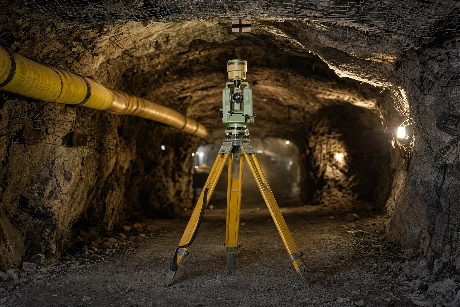
The instrument finds that direction by sensing the rotation of the earth, which is why it is used underground and in boreholes where satellite positioning is not available. Underground, the instrument is commonly a gyrotheodolite, set up over one station and pointed at a second.
Because the direction comes from the earth rather than from earlier survey lines, it gives the network a bearing that does not depend on everything observed before it. If a long traverse has drifted in bearing, a gyro observation can show it.
That is the value of the method. It is also its limit. The result is an azimuth, and an azimuth is a direction, not a location.
Key point
A gyro gives direction. Position, elevation and plumb each need their own observation and their own record before they can be treated as known.
Three questions the result leaves open
Three questions remain open after any gyroscopic observation, and each one needs a separate measurement before it can be treated as answered.
| Question | Answered by the gyro? | What answers it |
|---|---|---|
| Which way does this line run? | Yes | The gyro azimuth |
| Where is this point? | No | Connection to control by traverse or transfer |
| How high is this point? | No | A separate height observation |
| Is the shaft, hole or heading plumb or on grade? | No | Its own verticality or grade measurement |
Position comes from connecting the station to control whose coordinates are known. Elevation comes from a separate height observation. Plumb and grade come from measuring the shaft, hole or heading itself. A report that lists a gyro result and nothing else has answered the first row only.
Not sure what your gyro report covers?
Send us the report. We will tell you which of the four questions it answers.
Ask us to read the reportHow the direction reaches your coordinate network
A gyroscopic azimuth only becomes useful to the mine once it is tied into the existing control through a separate observation.
The connecting observation
The gyro result is typically combined with a horizontal angle or traverse observation that carries the direction into the coordinate network. That connection is what lets the direction orient the underground workings. A gyro reading on its own does not orient the mine's coordinate system.
The observation conditions
The instrument senses the rotation of the earth, so its result can be affected by vibration and by the time allowed for the sensor to settle. A rushed or disturbed observation is a recognised source of error, not a normal outcome of the method. Ask for the conditions to be recorded alongside the result.
Where the result is used
Where a shaft is the only route down, orientation is established by correlation survey or gyroscopic observation. On Teal Konkola North in Zambia, gyro observation was carried down the vertical shaft and gyro bases were established on each level. At Blanket Mine in Zimbabwe, check surveys and gyro observation from multiple shafts confirmed correct holing at a new shaft. The same question applies on shaft sinking projects and on any raise boring programme.
Key point
Ask for the gyro result and the observation that carried it into your network. One without the other is a direction with nowhere to go.
What to ask for in the report
A report that only states the azimuth leaves the reader to assume the rest, so ask for the items that show how the result was obtained and used.
Ask for the stations the observation was made from and to, the connecting observation into the control, the conditions on the day, and a plain statement of what was not observed. A gyro survey that is reported this way can be checked later. One that is reported as a single bearing cannot. The same principle runs through our survey handover checklist: the evidence should arrive with the result, not on request.
Planning orientation for a new level?
Tell us the shaft and the levels. We will plan where gyro bases are needed.
Get a gyroscopic survey quoteWhere survey cannot help you
A gyro survey settles direction well, but some questions about the workings sit outside what any orientation measurement can answer on its own.
It cannot tell you where a point is. It cannot show that a shaft is plumb. Where a network has drifted in bearing, it can reveal the drift, but it cannot undo development already driven on the old bearing. Correcting the positional consequences means recomputing the network, and sometimes observing parts of it again.
What it can do is give the network an independent direction, recorded with the conditions that produced it. That is a firm footing for every check that follows. When two networks disagree, an independent check survey can usually find where they part.
Two networks that disagree on bearing?
An independent check can usually find where the two part company.
See survey auditsLet's Build With Accuracy.
Gyroscopic orientation reported with the connection and conditions that make it checkable.
Request a Quote No obligation — we reply within one business day.