Before anything is designed, someone has to establish what is actually there — where the ground falls and by how much, where existing services run, and where the features that constrain the design sit.
A topographical survey captures that existing condition as a coordinated model: spot levels, contours, detail features and levels referenced to a defined datum. Contours are the interpretation layer, showing the shape of the ground so gradients and drainage can be read directly off the plan.
Where topographical surveys fail, it is rarely because the measurements were wrong. It is because the scope was wrong — the survey stopped at the site boundary when the stormwater discharges beyond it, or captured levels at a spacing too coarse to model the ground properly.
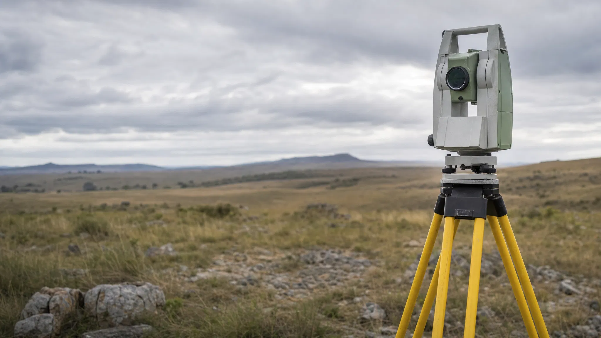
Control is established first, by GNSS observation against a base network or national trigonometrical stations, or by traverse from existing project control. Detail and levels are then captured by total station, GNSS rover, aerial capture or a combination.
Aerial capture cannot see ground beneath dense vegetation, and resolves hard detail — kerb lines, service covers, inverts — less reliably than ground survey. Most sites are best served by both.
The contour interval must follow what the design needs to resolve. A one-metre interval on flat ground conveys almost nothing useful.