Service

Road & Infrastructure Surveys

Survey information for road corridors and associated infrastructure, from existing geometry to construction and handover records.

What it is

Road & Infrastructure Surveys — engineered for accuracy.

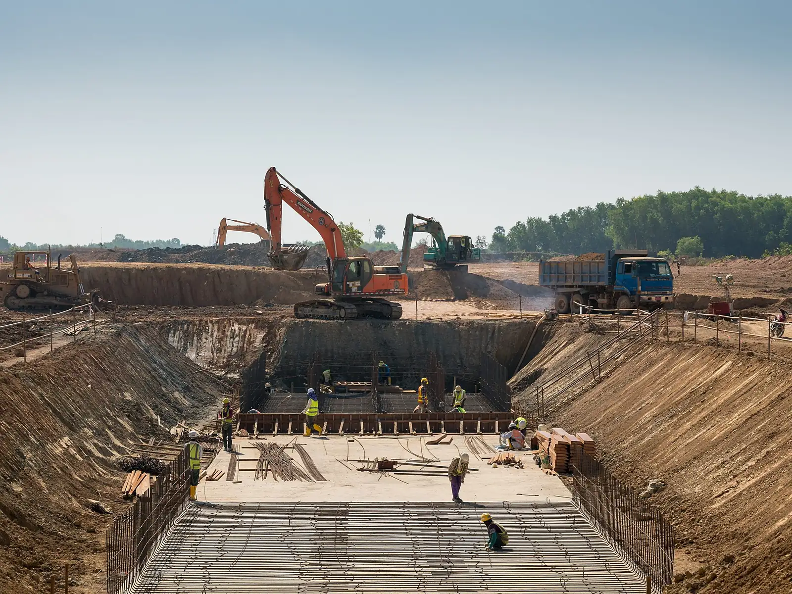
Road and infrastructure projects need survey information that follows the corridor and connects to existing works. The scope may include levels, cross sections, drainage features, alignment references and tie-ins, depending on the design or construction stage.

Survey House Group supports the geometric survey requirements of these projects. This service concerns measured positions and levels; traffic counts, pavement condition investigations and geotechnical testing are different appointments.

Where it's used

Typical applications

  • Existing road and corridor geometry
  • Cross sections and longitudinal information
  • Widening and tie-in survey information
  • Drainage features and levels
  • Construction alignment references
  • As-built corridor records
What you receive

Typical deliverables

  • Agreed corridor survey coverage
  • Sections or survey data for design
  • Coordinate and level information
  • Tie-in and visible-feature records
  • Construction references where commissioned
  • As-built outputs within the agreed extent
How it's done

Method, verification and limitations

Agree the route, survey extent, chainage convention and required features before capture. Where previous data or control exists, identify how the new work must connect to it. Select field methods around the site conditions and the required deliverables.

Access, traffic arrangements and construction activity affect the survey programme. The appointment should identify who provides safe access and the relevant permissions. Concealed services require a separately defined investigation rather than assumptions based on visible roadside features.

Before you enquire

Information needed for a quotation

  • Route plan and corridor limits
  • Design or construction stage
  • Section and feature requirements
  • Existing control and chainage references
  • Access and traffic arrangements
  • Required drawings, models and programme
Questions

Road & Infrastructure Surveys — frequently asked questions

Is a road survey the same as a traffic survey?

No. This service addresses positions, levels and geometry for road and infrastructure projects. Traffic counts and transport-demand studies are different services.

Can the survey include drainage information?

Yes, where the required features and access are defined. Visible features, accessible invert levels and buried-service detection involve different scope considerations and should be specified separately.

Do you provide both design-stage and construction-stage survey work?

Yes. The appointment should state whether it requires existing-site information, setting-out, checks during construction or an as-built record, because each stage has different inputs and timing.

Planning your appointment

Project scope and practical considerations

Sections, tie-ins and drainage

Specify where sections are required and which existing interfaces influence the design. A narrow strip along the centreline may not capture the information needed for widening, connections or drainage outside that strip.

For drainage, identify whether the requirement is visible surface geometry, accessible invert levels, constructed records or utility detection. The brief should not use those terms interchangeably.

Construction sequence and handover

Layer and buried-feature records may need measurement before later work covers them. Agree the relevant hold points and the notification process with the contractor.

Retain the reference system and chainage conventions through the handover. If the design alignment changes, record how subsequent survey information relates to the revised design.

Get started

Let's Build With Accuracy.

Tell us about your project and we'll respond within one business day.