GNSS vs GPS is a question that often starts with two survey quotes for the same job. On GPS and GNSS surveys, one quote may say "GPS survey" and another "GNSS survey", and it is fair to ask whether they are pricing the same thing.
Quick Answer
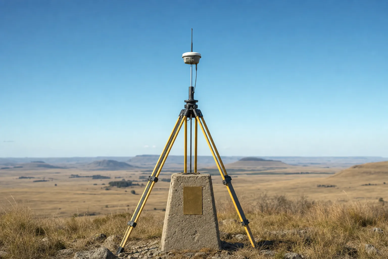
GPS is one satellite constellation, operated by the United States. GNSS (global navigation satellite system) is the general term for positioning with any combination of global constellations: GPS, GLONASS, Galileo, BeiDou and others. A modern survey-grade receiver is typically a multi-constellation GNSS receiver. The label on a quote matters less than the method, the control, the coordinate system and the checks it describes.
Satellite positioning is one part of a survey. What arrives at the end of the job is covered in our survey handover checklist.
GNSS vs GPS: the definitions
The difference between the two terms is definitional: one names a single system and the other names the whole family of systems.
| Term | What it names |
|---|---|
| GPS | The United States satellite constellation |
| GLONASS | The Russian satellite constellation |
| Galileo | The European Union satellite constellation |
| BeiDou | The Chinese satellite constellation |
| GNSS | Satellite positioning using any combination of these |
GPS came first into wide civilian use, so its name became the everyday word for satellite positioning of any kind. That is why a car navigator, a phone and a survey quote may all say GPS. In survey use, GNSS is the more precise term, because a modern survey receiver usually tracks several constellations, not one.
Why the word stuck in survey quotes
Many surveyors and clients learned the trade when GPS was the only system available. Older specifications, drawing notes and tender documents still say "GPS survey" or "GPS control". The word is not wrong as a label. It simply describes less than the equipment now does.
Reading an equipment list
The same GNSS vs GPS question comes up on equipment lists. A list that names a "GPS rover" is usually describing a GNSS receiver by its older name. If it matters to your job, ask which constellations the receiver tracks, rather than reading it from the label. The answer is a property of the equipment, and the supplier or surveyor can state it plainly. Settling the GNSS vs GPS wording this way takes one question, and it removes a common source of confusion between bidders.
Key point
GPS is one constellation. GNSS covers all of them. Most survey-grade receivers today are GNSS receivers, whatever the quote calls them.
Two quotes that use different terms?
Send them to us. We will show what each one actually covers.
Ask us to read the quotesWhat matters more than the label
Whether a quote says GPS or GNSS, the questions that decide the quality of the survey are about method, control and checking, not about the name of the satellite system.
Ask which observation method will be used. Static observation, over longer periods, is generally used for control. Real-time kinematic (RTK) methods are used for detail pick-up and setting out. Ask which control the survey will be tied to, and whether that control has been checked. Ask which coordinate system and height datum the results will be delivered on. And ask what checks will be made on known points during the work.
Two quotes that answer those questions the same way are quoting for comparable work, whatever they call it. Two quotes that use the same word but answer them differently are not. The GNSS vs GPS wording is the least important line in the comparison.
A fixed solution is not the end of the check
On RTK work, a receiver showing a "fixed" solution is often read as proof that the point is right. It is not quite that. Our article on RTK GPS fixed solutions explains what the fix indicator reports and which checks still matter.
Where GNSS is used, and where it is not
Satellite positioning gives control over large areas quickly, which is why it forms the primary control on most surface sites.
On a mine or construction site, GNSS control is the framework that the topographical survey, setting out and civil construction surveys all reference. It needs a view of the sky. Near tall structures, steep faces or stockpiles, signals can be blocked or reflected, and the surveyor will plan around that.
Underground, satellite signals do not reach the workings at all. There, control is carried down from surface through the shaft or portal and extended by traverse, as covered on our underground mining surveys page. For the European constellation and the wider GNSS picture, the EU Agency for the Space Programme is a useful starting point.
Key point
Read the GNSS vs GPS label as a habit of language. Compare quotes on method, control, coordinate system and checks.
Need site control established?
Tell us the site and the coordinate system you work on. We will price the network.
Get a GNSS survey quoteWhere survey cannot help you
Choosing the right terms makes a quote easier to compare, but some questions are not answered by satellite positioning at all.
GNSS cannot confirm that the control it is tied to is correct, that the antenna height was entered correctly, or that the results are on the coordinate system the design uses. Those remain separate checks. It cannot position anything without a view of the sky. And no choice of constellation removes the need for a check on a known point. Where results from two surveys disagree, the cause is usually a difference in control or coordinate system, not the satellite system named on the quote.
Two surveys that do not agree?
An independent check can establish which control each one was tied to.
See survey auditsLet's Build With Accuracy.
Site control established on the coordinate system your design uses, with the method and checks stated.
Request a Quote No obligation — we reply within one business day.