Underground mine coordinates from different eras often sit side by side on the same plan, and they are not always on the same system. On long-running underground operations, that is one of the quieter risks in the survey record.
Quick Answer
Coordinates from an older local mine grid and coordinates from a current network should not be used together without an explicit, checked transformation between the two systems. That holds even when they appear to roughly agree, because an apparent match between two systems that have not been related can be coincidental. Name each system, derive the transformation from common points, test it on independent points, and mark every converted record.
The question usually arrives as a practical one: a 1990s plan shows an old working, a recent survey shows the new development, and someone wants to know how close the two are. Answering it properly starts with which system each figure is on.
Old and new underground mine coordinates compared
Older and current underground mine coordinates can differ in their reference, their origin and the way they were carried down, and a figure carries none of that with it.
| Question | Older local grid | Current network |
|---|---|---|
| What is it referenced to? | Often a local origin chosen for the mine | Often a national or project reference |
| How was it brought underground? | By the methods and checks of its time | By the current connection |
| Is it documented? | Sometimes only on the plan itself | Usually in a control listing |
| Can it be related to the other system? | Only through a checked transformation | Only through a checked transformation |
The table does not say that one system is right and the other wrong. It says they are different, and that a coordinate on its own does not tell you which one it belongs to.
Key point
A coordinate is only meaningful with its reference system attached. Two figures on different systems cannot be compared until the systems themselves have been related and checked.
Why a rough match is not evidence
When old and new figures land close to each other, it is tempting to treat that as confirmation, but two unrelated systems can agree in one place by coincidence.
Agreement in one area does not show that the same relationship holds elsewhere on the mine. The difference may grow with distance, change in direction, or differ in level. Until the relationship has been derived from common points and tested on independent ones, any comparison between the records is an assumption.
This matters most where old and new information meet: a new heading planned near an old working, a hole aimed at an old excavation, or a boundary drawn from an old plan. In each case, the decision depends on the distance between two features recorded on different systems. If the relationship between the systems has not been checked, that distance is not known, however precise each figure looks.
Old and new plans on one drawing?
Send us the records. We will tell you which systems they are on.
Ask us to check the recordsHow to bring old records into a current network
Bringing older underground mine coordinates into a current network is a short procedure, and each step leaves something the next user can check.
Name both systems
Write down which system each record is on, in words and, where one exists, by its code in the EPSG registry. A record whose system cannot be identified should be treated as unknown, not as current.
Derive the transformation from common points
Use points that exist in both systems and can still be found and measured. Record which points were used and where they are.
Test it on independent points
Check the transformation on points that were not used to derive it. A transformation that has only been tested on the points that produced it has not been tested.
Agree who owns the transformation
One person or role should own the transformation and its record, so later users know where it came from and who to ask when it is questioned.
Mark every converted record
Converted coordinates should say they are converted, from which system, and by which transformation. Our survey handover checklist sets out the wider evidence that should travel with any survey record.
Key point
Choose one master system, convert into it with a checked transformation, and label every converted record. That keeps old information usable without letting it pass as new.
Restarting work on an older mine?
Tell us what records exist. We will plan how to tie them to a current network.
Get an underground survey quoteWhere survey cannot help you
A checked transformation lets old and new records work together, but some gaps in an old record cannot be closed by any transformation.
Underground mine coordinates on an old plan may also have been copied, redrawn or digitised more than once. Each step can introduce its own error, and none of them is visible in the final figure. Where an old record matters to a decision, trace it back to its source before relying on it.
Survey cannot recover a reference system nobody recorded. It cannot test a transformation where no common points survive, and it cannot confirm the quality of an old observation from its result alone. Where a mine's control has been lost entirely, as happened on the restarted Mindola shaft project for Mopani Copper Mines, the network is re-established first, with direction fixed independently by gyroscopic observation. How that connection is then carried down the shaft is covered in our article on shaft survey control, and the shaft survey work builds on it.
Two records that should agree but do not?
An independent check can find where the systems part company.
See survey auditsLet's Build With Accuracy.
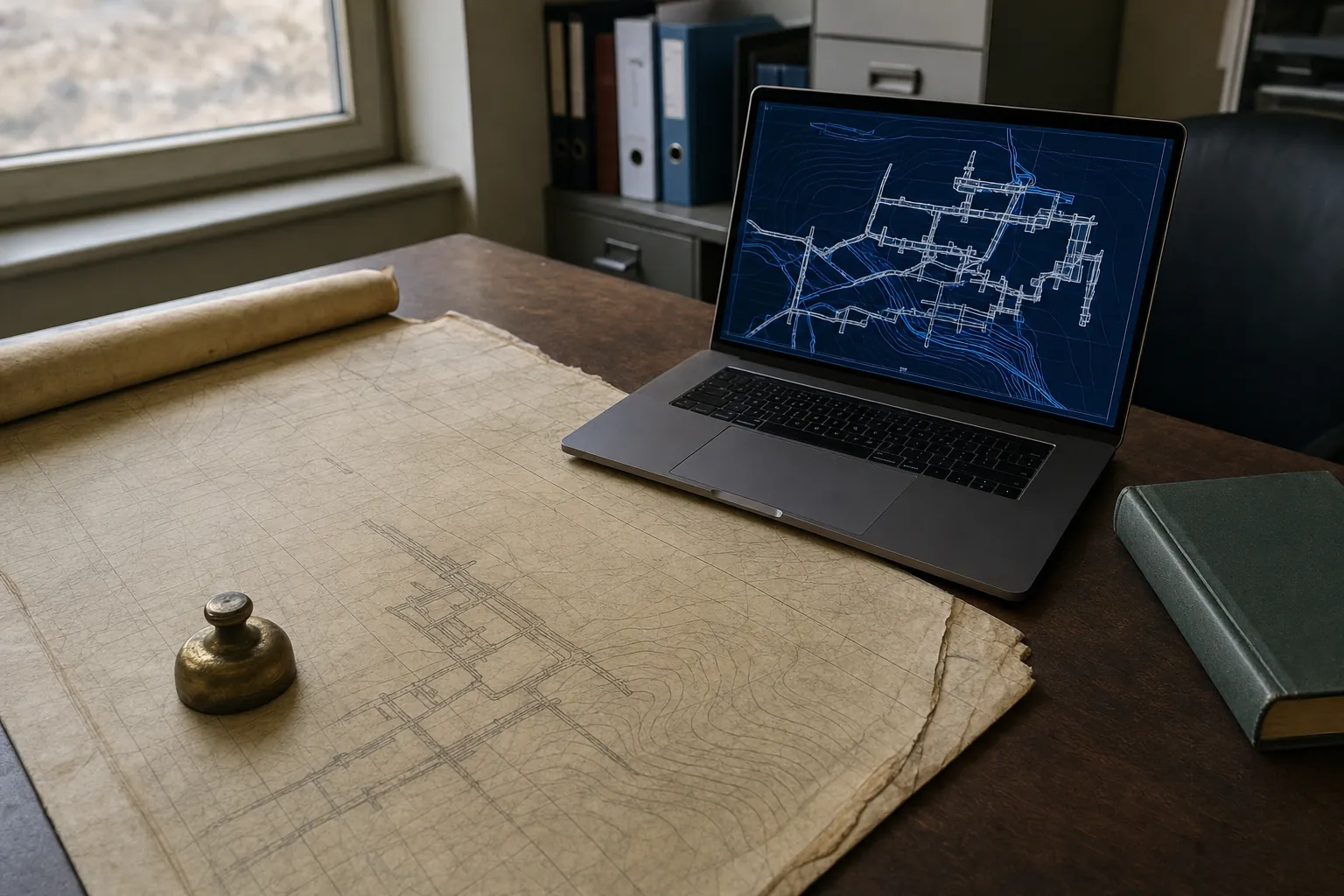
Old and new underground records related by a checked transformation, and labelled so nobody mistakes one for the other.
Request a Quote No obligation — we reply within one business day.