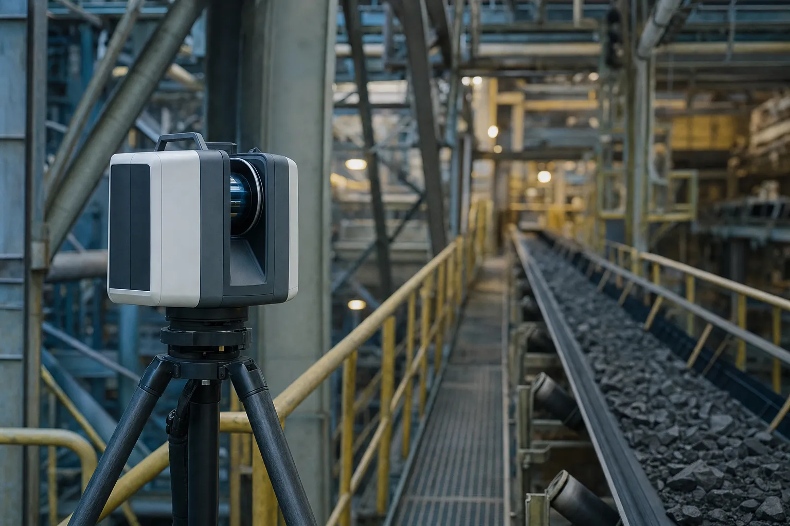
Terrestrial laser scanning gives an engineering team something a conventional survey rarely does: a measured record of every surface the scanner could see. On 3D laser scanning work, what the team receives is defined as much by what the scanner could not see as by what it could.
Quick Answer
A terrestrial scan delivers dense measured points of every surface in direct line of sight of a scan position, registered into one point cloud. It does not capture hidden or obstructed surfaces, and gaps are reduced by adding scan positions, not by scanning longer. Point density describes how finely surfaces were sampled, not how accurate the points are. Agree the purpose, the key surfaces and the coordinate system first.
What arrives at the end of any survey is covered in our survey handover checklist. This article covers what is specific to a scan.
What terrestrial laser scanning delivers
The core deliverable is a registered point cloud: millions of measured points, from several scan positions, combined into one dataset on an agreed coordinate system.
Each point is a measured position on a surface. Together they record the shape of the structure, plant or excavation as it stood on the day it was scanned. From that record, an engineering team can take measurements, cut sections, compare the built shape with the design, and build models, without sending someone back to site for each new question.
| Deliverable | What the team uses it for |
|---|---|
| Registered point cloud | Measuring anything that was visible on the day |
| Sections and long-sections | Checking profiles against design |
| Plan-versus-actual comparison | Finding where built and design differ |
| Engineering or mesh model | Design work and clash checking |
Why that changes how the team works
With a conventional survey, the surveyor decides on site which points to pick up, and anything not picked up needs a return visit. With a scan, the decision moves to the office. The team can measure something nobody thought to ask about on the day, as long as the scanner could see it. On plant, steelwork and engineering surveys, that often saves a second visit.
Key point
A scan records every visible surface, so questions can be answered from the office instead of from a return visit to site.
Considering a scan instead of a survey?
Tell us what the data is for. We will say whether a scan fits the job.
Ask whether scanning fitsWhat the scan cannot see
A terrestrial scan captures point data only of surfaces that were within direct line of sight of at least one scan position, and nothing behind them.
Anything obstructed is missing. The back of a beam, the inside of a closed duct, a flange hidden behind another pipe, the ground under parked equipment: none of these appear in the point cloud unless a scan position had a clear view of them. These gaps are called occlusion. They are a property of line of sight, so collecting more points from the same position does not fill them. Only another scan position with a view of the hidden area does.
Plan positions around the surfaces that matter
Tell the surveyor which surfaces matter most before the scan, so positions can be planned to see them. A connection that must be checked, a flange face that must be measured or a crane rail that must be profiled each need a clear view. Ask for the deliverable to show where the gaps are, so the team does not mistake missing data for empty space.
On busy plant, access also decides what can be seen. Terrestrial laser scanning needs the scanner set up on stable ground with a clear view, and some positions are only available during a shutdown or with equipment moved. Agree those windows early, so the scan positions that matter most are not the ones dropped on the day.
Density is not accuracy
Point density, the spacing between captured points, describes how finely a surface was sampled, and it is often confused with how accurate those points are.
A denser scan improves the chance of capturing small features. It does not by itself make each point closer to the true position of the surface. A dense scan that is poorly registered, or tied to poor control, can be less accurate than a sparser scan that is well registered and well controlled. When comparing offers, ask how the scans will be registered and controlled, and how that will be checked, not only how dense they will be. The RICS guidance on measured surveys is a useful reference for how scan surveys are specified.
Key point
Judge terrestrial laser scanning offers on registration, control and checks, not only on point density.
Need plant or structures scanned?
Send us the area and the surfaces that matter. We will price the scan positions.
Get a laser scanning quoteWhere survey cannot help you
A well-planned scan answers most geometric questions about what was visible, but some questions sit outside what terrestrial laser scanning can settle.
A scan cannot show what was hidden, inside or buried. It cannot record a structure as it is now once that structure has changed, so date every point cloud. It cannot replace the engineering judgement about whether a measured deviation matters. And it cannot place itself on the right coordinate system without control, which is why scans used for as-built surveys or tied into underground mining surveys must be registered to the same control as the rest of the site.
A scan that does not line up with the design?
An independent check can establish which control each one is on.
See survey auditsLet's Build With Accuracy.
Laser scans planned around the surfaces your engineers need, registered to your site control.
Request a Quote No obligation — we reply within one business day.