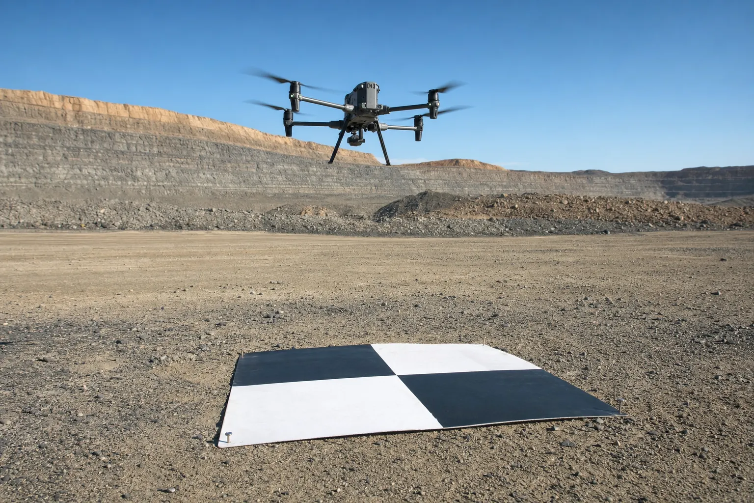
Ground control points tie a drone model to the site's coordinate system, but on their own they do not prove the model is accurate. On an aerial survey, that proof comes from a second set of points, and it is worth asking for those by name before the work starts.
Quick Answer
Ground control points are surveyed positions used inside processing to anchor the model to the project coordinate system. Used that way, they constrain the model rather than test it. Checkpoints are surveyed positions withheld from processing and compared to the finished model afterwards. Only the checkpoints give independent evidence of how the model performs. Ask for both, listed separately, with the result at each checkpoint.
The full set of files an aerial survey should return is covered in our article on drone survey deliverables. This article is about one line in that report: the evidence behind the accuracy statement.
What ground control points do in processing
During processing, the software fits the photographs or scan data together and then places the result in the project coordinate system using surveyed positions on the ground.
Those positions are the control. The processing adjusts the model so that it agrees with them as closely as the data allows. That is their job: to anchor the model to the same coordinates as the rest of the site, so the drone surface lines up with the topographical survey, the design and earlier surveys.
Because the model has been fitted to them, ground control points will usually agree well with the finished model. That agreement tells you the fit worked. It does not tell you how the model behaves between and away from the control, which is where most of the site sits.
Why the agreement at control is not a test
A test needs something the result was not built from. The ground control points were part of building the result. Reporting how well the model matches them is similar to marking an exam with the answer sheet the student was given. A good match is expected, and a poor one shows a processing problem, but neither one is independent evidence.
Key point
Ground control points anchor the model. Agreement at those points shows the anchor held. It is not evidence of accuracy elsewhere on the site.
Planning a drone survey?
Tell us the site and what the model is for. We will plan control and checks with it.
Ask us to plan the controlWhat a checkpoint adds
A checkpoint is a surveyed position that is deliberately kept out of the georeferencing solution, so that it can be compared to the finished model afterwards.
Because it had no influence on the model, the difference at a checkpoint is independent evidence of how the model performs in that place. That independence depends entirely on the exclusion. A point that was used as control and then reported as a check provides no independent evidence at all.
| Point type | Used in processing? | What it tells you |
|---|---|---|
| Control point | Yes | The model was anchored to the coordinate system |
| Checkpoint | No, withheld | How the model performs away from control |
| Point used as both | Yes | Nothing independent |
Where checkpoints should sit
A checkpoint tells you about the area around it. Checkpoints placed only beside the control, or only on one side of the site, say little about the rest. Ask for checkpoints spread across the area that matters for the decision, including the parts furthest from control and the parts where the ground changes most, such as faces, benches or stockpile toes on volumetric work.
How to read the accuracy evidence
An accuracy statement is only as useful as the evidence behind it, so the report should let a reader trace each figure back to the points that produced it.
Look for four things. A list of the points used as control. A separate list of the points withheld as checkpoints. A plan showing where each one sits. And the comparison at each checkpoint, not only a single summary figure. If the report gives one number without saying which points it came from, ask before relying on it.
Pixel size is often quoted beside the accuracy figure, but it is a separate measure. Our article on ground sampling distance explains why a small pixel does not prove an accurate model. The positional accuracy standards published by the ASPRS are a useful reference for how checkpoint testing is reported.
Key point
Ask for control and checkpoints listed separately, mapped, and reported point by point. One figure with no source is not evidence.
Need a drone survey with independent checks?
Send us the site boundary and the output you need. We will price it with checkpoints.
Get an aerial survey quoteWhere survey cannot help you
Checkpoints make an accuracy statement testable, but they cannot settle every question about a drone model.
A checkpoint describes the model at that place, at the time it was flown. It cannot show what happens under dense vegetation where the ground was not visible, and it cannot make a model current once the site has changed. It cannot replace control that was placed badly or surveyed on the wrong coordinate system, because the whole model will follow that control. Where the surfaces that matter are steep or hidden from the air, 3D laser scanning from the ground may be the better capture.
A drone model you are not sure about?
An independent check can test it against points it was not built from.
See survey auditsLet's Build With Accuracy.
Aerial surveys with ground control and independent checkpoints, reported point by point.
Request a Quote No obligation — we reply within one business day.