Great Basin Gold
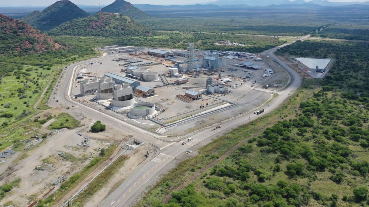
Burnstone
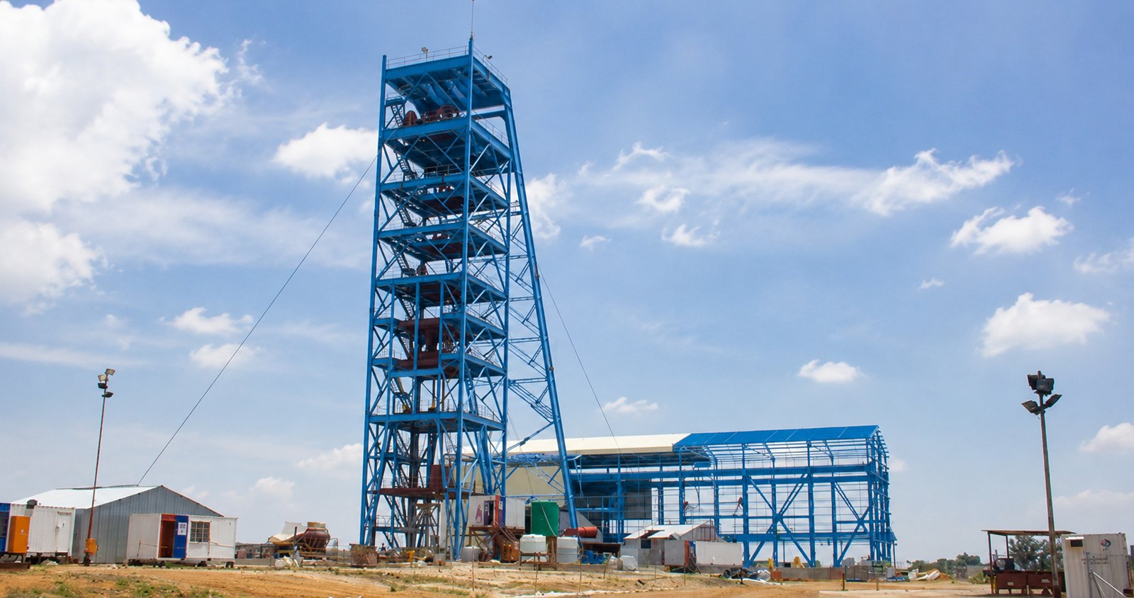
7-year project — site infrastructure, vertical & decline shaft, start to handover.
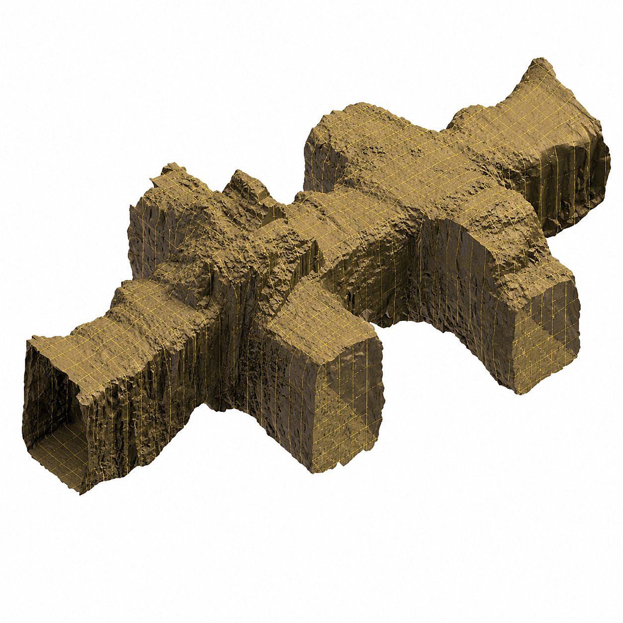
Defensible volume and tonnage figures for stockpiles, excavations, open-pit reconciliation and voids — the numbers that drive inventory, reconciliation and payment.
A volumetric survey answers a deceptively simple question — how much material is here? — with an auditable, accurate number. Survey House captures the surface of a stockpile, excavation, dump or open pit by laser scan, UAV or GNSS, depending on access and the accuracy required, and computes the volume against a reference surface or design.
For open-cast operations this is the heart of survey reconciliation. The original ground is surveyed before any work starts to fix the Original Ground Level (OGL) baseline; successive surveys are then compared against OGL to quantify what has been moved and reconcile mined volumes for planning and payment. Scanning an open pit also removes the old hazard of a surveyor working close to the pit edge.
Stockpiles are notoriously hard to measure by hand: uneven surfaces, changing angles of repose and unsafe footing make manual methods slow and imprecise. Capturing the surface remotely is faster, safer and more accurate, and produces a repeatable record that stands up to audit.
Clear answers to the questions clients and search engines ask most about this service.
7-year project — site infrastructure, vertical & decline shaft, start to handover.
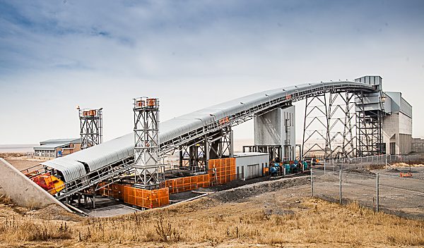
Surface infrastructure, decline & 2× vertical shaft surveys.
Vertical shaft equipping & 3D scan of 730 m reamed shaft.

Precision. Accuracy. Trust.