Great Basin Gold
Burnstone
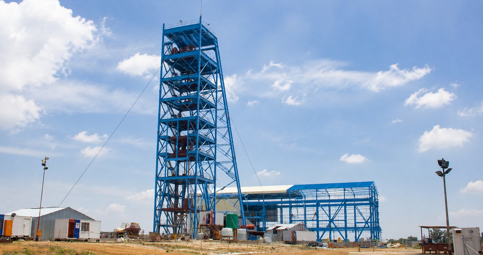
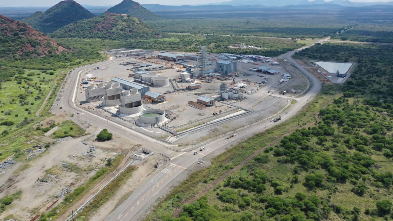
7-year project — site infrastructure, vertical & decline shaft, start to handover.
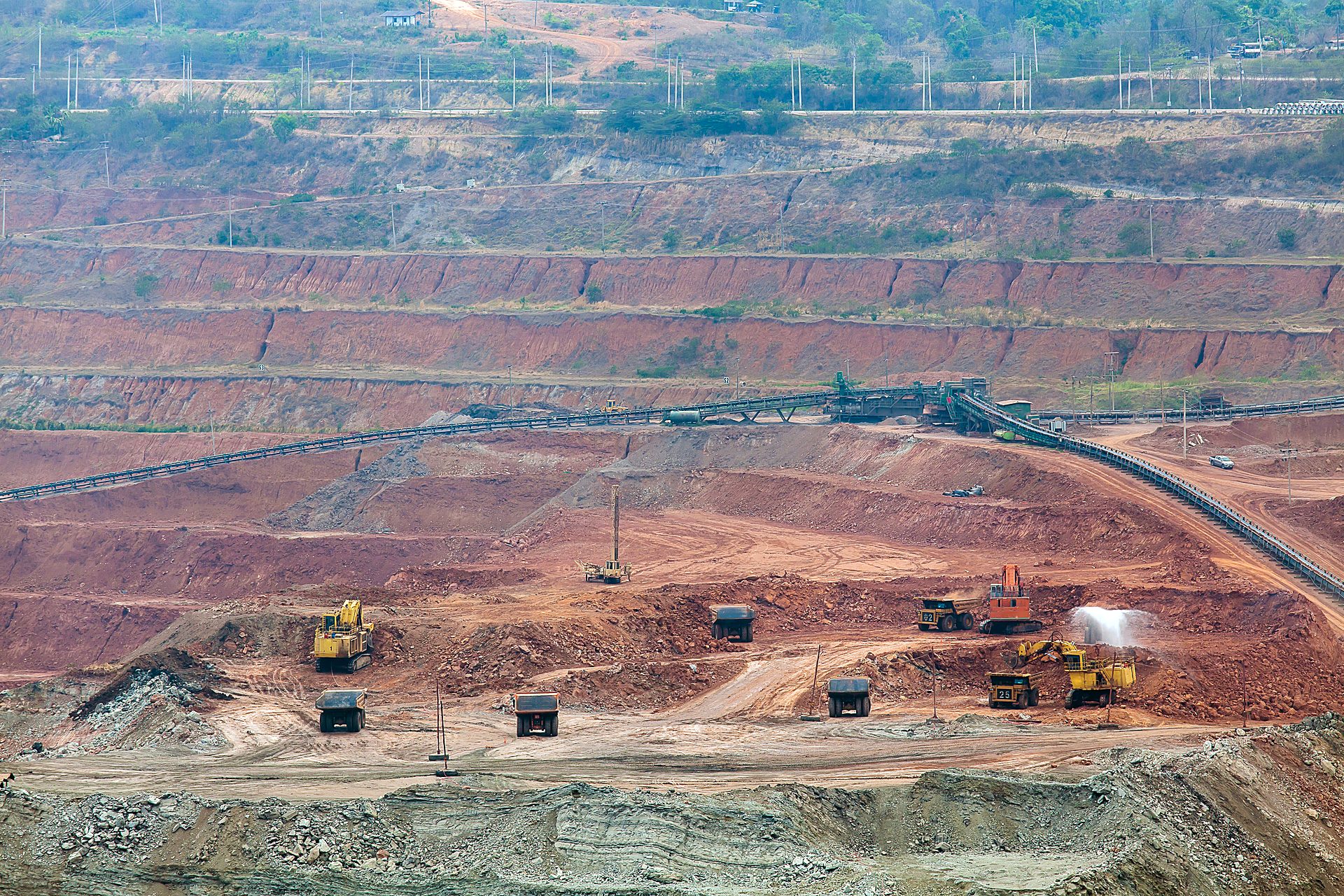
End-to-end survey for open-pit and surface operations — from the first greenfield topo before a dozer turns, through to monthly volume reconciliation.
Opencast mining lives and dies by accurate ground models. Survey House establishes the survey programme from the very start: capturing the greenfield (original) topography before any work begins, setting out the ground control the operation will reference, and recording the Original Ground Level (OGL) that everything is measured against.
As mining advances, successive surveys are compared against OGL to quantify what has been moved, measure progress and reconcile volumes for planning and payment — the heart of opencast reconciliation. Pit, bench and dump surveys, stockpile volumetrics, haul-road and infrastructure set-out, and drill-and-blast control all sit within the programme.
The work is delivered with whichever method best fits the site — GNSS control, aerial/UAV capture and 3D laser scanning — and increasingly from a safe standoff: scanning a pit edge or stockpile removes the old hazard of a surveyor working close to the edge, and is both quicker and more accurate.
It is a sector built from our GNSS, aerial and volumetric disciplines, delivered as one coordinated surface-mine programme.
Clear answers to the questions clients and search engines ask most about this service.
7-year project — site infrastructure, vertical & decline shaft, start to handover.
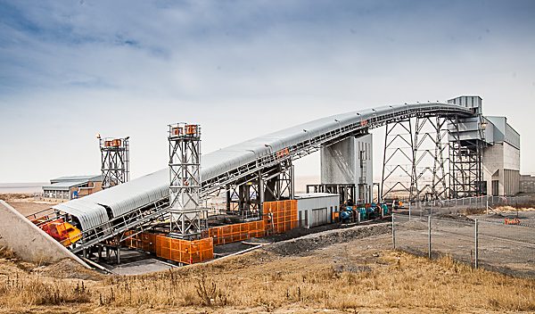
Surface infrastructure, decline & 2× vertical shaft surveys.
Vertical shaft equipping & 3D scan of 730 m reamed shaft.

Precision. Accuracy. Trust.