Service

Aerial & UAV Surveys

Drone-based aerial capture that maps large or hard-to-reach sites quickly and safely — high-resolution orthophotos, surface models and topography from the air.

What it is

Aerial & UAV Surveys — engineered for accuracy.

For sites that are large, rugged or unsafe to traverse on foot, capturing data from the air is faster and safer. Survey House uses UAV (drone) photogrammetry and aerial methods to produce georeferenced orthophotos, digital surface models and topographic data over open-pit mines, dumps, infrastructure corridors and greenfield areas.

Tied to GNSS ground control, aerial data delivers survey-grade accuracy across wide areas in a fraction of the time of ground survey — with the bonus of a visual record. The outputs feed straight into volumetrics, open-cast reconciliation, planning and progress monitoring.

Because the aircraft does the traversing, exposure to hazardous terrain — pit edges, active faces and steep dumps — is minimised while coverage and detail increase.

Where it's used

Typical applications

  • Open-pit & dump aerial mapping
  • Topographic survey of large sites
  • Orthophoto & surface-model capture
  • Volume & progress monitoring
  • Infrastructure-corridor survey
  • Greenfield & rehabilitation survey
What you receive

Typical deliverables

  • Georeferenced orthophotos
  • Digital surface / terrain models
  • Contour & topographic data
  • Volumetric outputs
FAQ

Aerial & UAV Surveys — frequently asked questions

Clear answers to the questions clients and search engines ask most about this service.

How accurate are drone (UAV) surveys?
Tied to GNSS ground control, UAV photogrammetry routinely achieves centimetre-level accuracy suitable for topographic mapping, volumes and progress monitoring across large areas.
Why use aerial survey instead of ground survey?
For large, rugged or hazardous sites, aerial capture is far quicker, reaches ground a survey crew can't safely traverse, and produces a rich visual record alongside the measured data.
What can a UAV survey produce?
Georeferenced orthophotos, digital surface and terrain models, contours and volumes — the inputs for open-cast reconciliation, planning and monitoring.
Related Projects

Recent applications

Burnstone
Great Basin Gold

Burnstone

7-year project — site infrastructure, vertical & decline shaft, start to handover.
Thubelisha Shaft
Sasol

Thubelisha Shaft

Surface infrastructure, decline & 2× vertical shaft surveys.
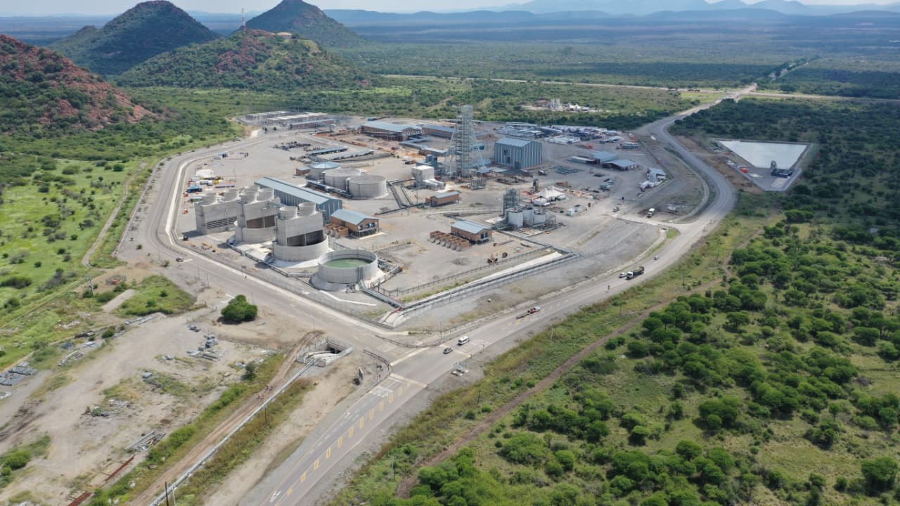
Zondereinde
Northam Platinum

Zondereinde

Vertical shaft equipping & 3D scan of 730 m reamed shaft.

Speak to our survey team about aerial & uav surveys:+27 (0)11 472 1527
Let's work together

Let's Build With Accuracy.

Precision. Accuracy. Trust.

Get a Quote