Service

Gyroscopic Surveys

Gyro-theodolite azimuth determination — establishing true direction underground, where there is no sky, no GPS and no margin for a wrong bearing.

What it is

Gyroscopic Surveys — engineered for accuracy.

Underground there are no star sights and no satellite signal, so the bearing that controls the direction of development has to be derived another way. A gyro-theodolite does this by sensing the horizontal component of the Earth's rotation: a fast-spinning rotor seeks the meridian, and the instrument resolves the direction of true north to within a few seconds of arc — independent of terrain, weather or magnetic interference.

That azimuth is what keeps development on course. When two ends of a tunnel, or a holing between shafts, have to meet, the gyro bearing established at surface and again underground ties the two survey frames together so headings drive toward each other correctly and safely. Doing this the correct way minimises the risk of mis-holings — which cost money and, worse, can cost lives.

Survey House Group runs gyro observations as part of underground control: establishing and checking primary bearings, orienting shaft-bottom survey networks after coordinate transfer, and carrying surface gyro bearings forward into the workings. A gyro determines true north, so grid convergence must be applied to obtain a grid bearing — a correction we apply rigorously, because overlooking it is a common and costly error.

Where it's used

Typical applications

  • Underground primary bearing establishment
  • Shaft-bottom orientation after coordinate transfer
  • Tunnel & decline directional control
  • Correct & safe holing between headings
  • Raise-bore & directional-drilling azimuth checks
  • Independent bearing verification
What you receive

Typical deliverables

  • Observed gyro azimuths with station constants
  • Grid-bearing computations (convergence applied)
  • Underground orientation reports
  • Network bearing-check certificates
FAQ

Gyroscopic Surveys — frequently asked questions

Clear answers to the questions clients and search engines ask most about this service.

What is a gyroscopic (gyro) survey used for in mining?
It establishes true direction — azimuth — underground, where compasses are unreliable and GPS does not reach. That bearing controls the direction of tunnelling and development and ensures headings hole through to one another correctly and safely.
How accurate is a gyro-theodolite?
Modern gyro-theodolites determine true north to within a few arc-seconds, and observations are repeated and cross-checked so the result meets the tolerances required for shaft and tunnel orientation.
Does a gyro survey give grid bearing directly?
No — the gyro determines true (geographic) north. The surveyor must apply grid convergence to convert that into a grid bearing for the mine's coordinate system. Survey House applies this correction rigorously, as overlooking it is a common and costly mistake.
Why not just use GPS underground?
Satellite signals don't penetrate rock, so GNSS can't provide direction underground. Gyro observation is the established method for transferring and checking azimuth below surface.
Related Projects

Recent applications

Burnstone
Great Basin Gold

Burnstone

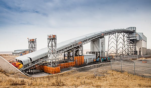
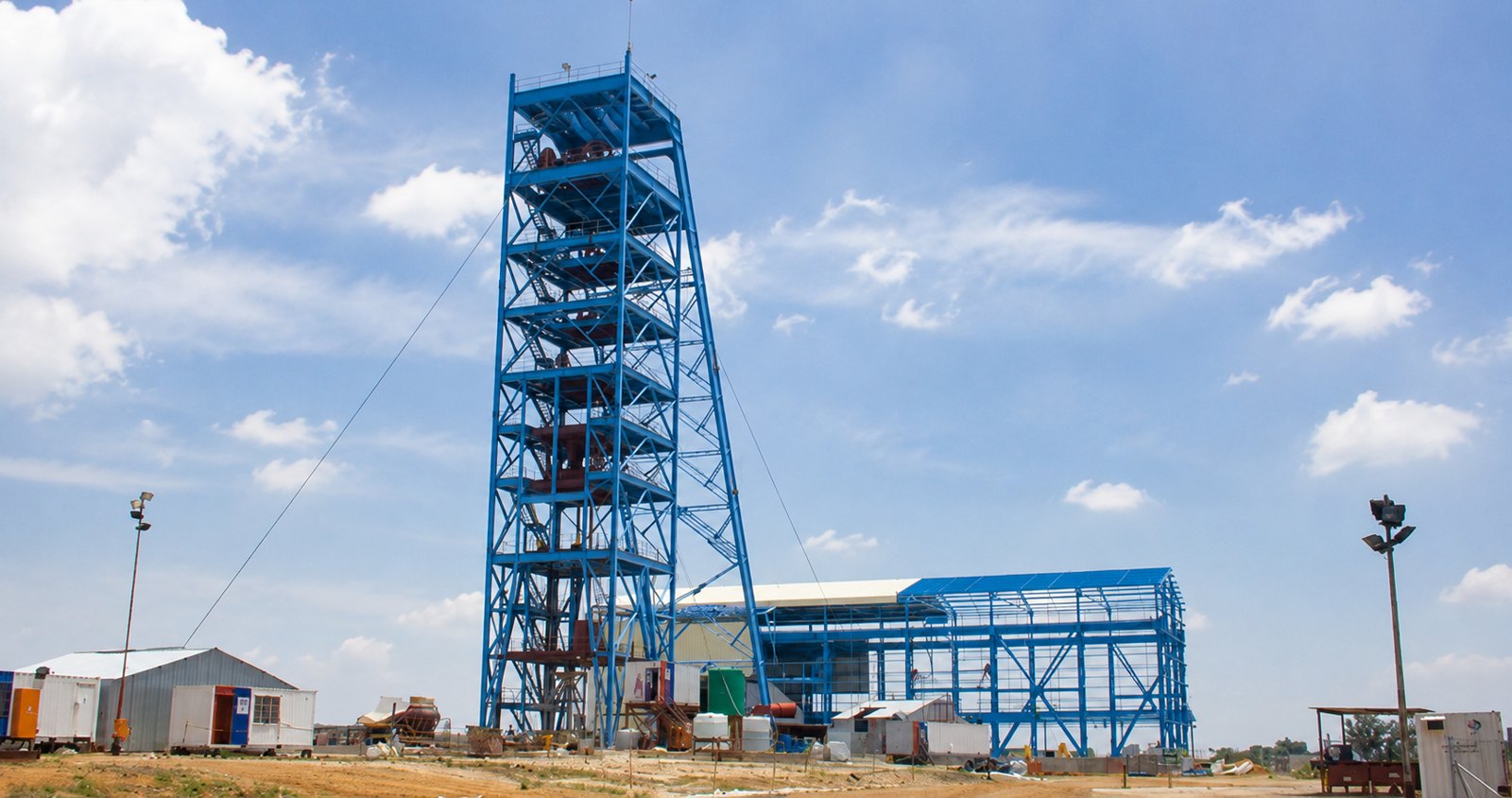
7-year project — site infrastructure, vertical & decline shaft, start to handover.
Thubelisha Shaft
Sasol

Thubelisha Shaft

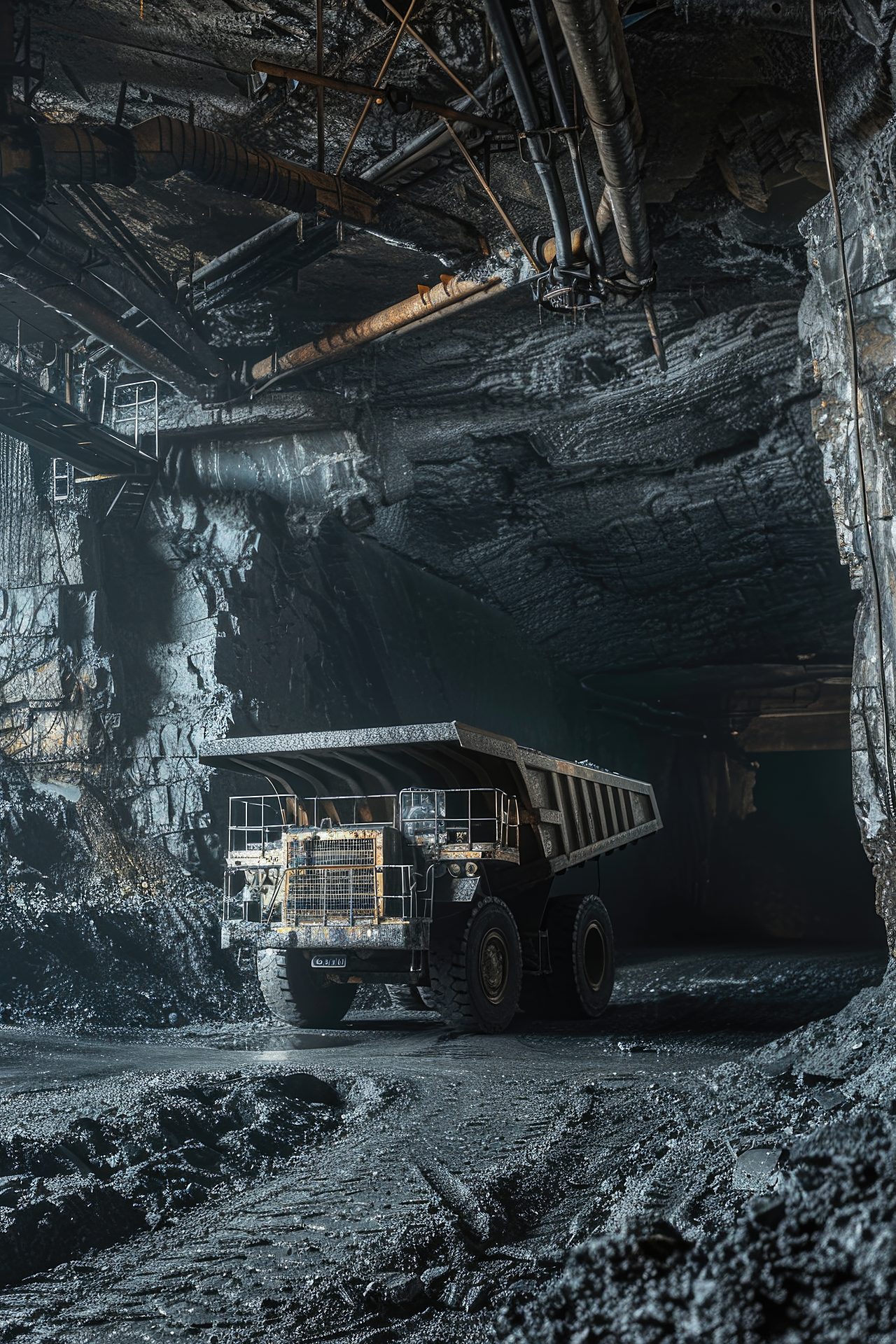
Surface infrastructure, decline & 2× vertical shaft surveys.
Zondereinde
Northam Platinum

Zondereinde

Vertical shaft equipping & 3D scan of 730 m reamed shaft.

Speak to our survey team about gyroscopic surveys:+27 (0)11 472 1527
Let's work together

Let's Build With Accuracy.

Precision. Accuracy. Trust.

Get a Quote