
Great Basin Gold
Burnstone
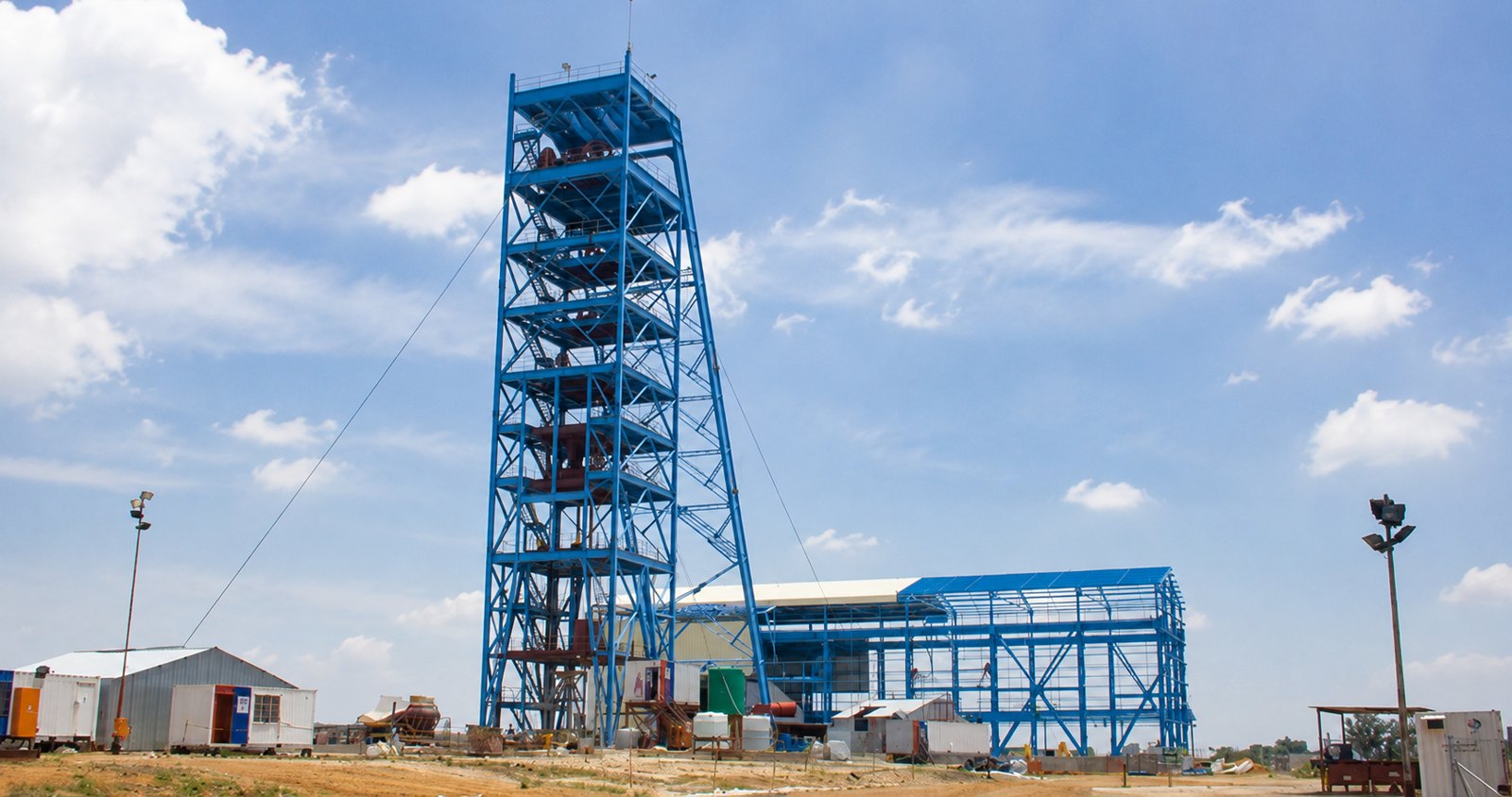
7-year project — site infrastructure, vertical & decline shaft, start to handover.

Satellite-based control that ties every survey on a site to a single, accurate coordinate framework — the backbone the rest of the survey hangs from.
GNSS — the family of satellite positioning systems that includes GPS — lets surveyors establish precise positions over large areas quickly. On a mine or construction site it provides the primary control network: the set of accurately known points that all detailed survey, setting-out and machine guidance reference back to.
Survey House establishes control survey systems from the national trigonometric beacons — orienting on the national trig, running a GPS survey and transforming onto newly constructed control beacons on site. From those beacons, every surface and underground activity is surveyed in. The work spans whole countries — the group has GPS-coordinated plateaus and access routes for BHP Billiton in Gabon.
Survey House uses static GNSS observation for high-accuracy control and baselines, and real-time kinematic (RTK) methods for rapid setting-out and topographic pick-up. Properly georeferenced control means open-pit surveys, surface infrastructure and underground transfers all sit in the same coordinate system. Because an error in control propagates into everything measured from it, the network is built and verified with care before detailed survey begins.
Clear answers to the questions clients and search engines ask most about this service.
7-year project — site infrastructure, vertical & decline shaft, start to handover.
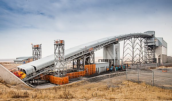
Surface infrastructure, decline & 2× vertical shaft surveys.
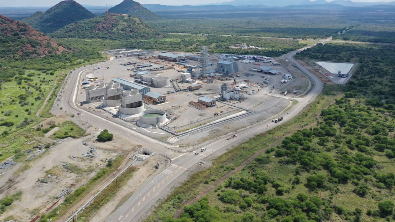
Vertical shaft equipping & 3D scan of 730 m reamed shaft.

Precision. Accuracy. Trust.