Great Basin Gold
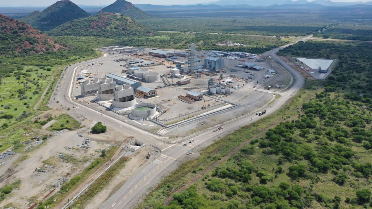
Burnstone
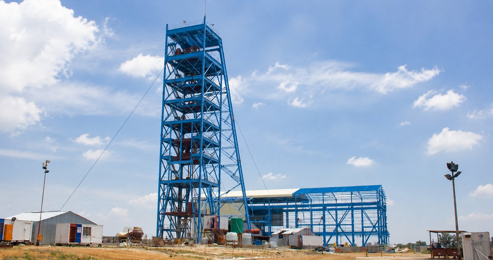
7-year project — site infrastructure, vertical & decline shaft, start to handover.
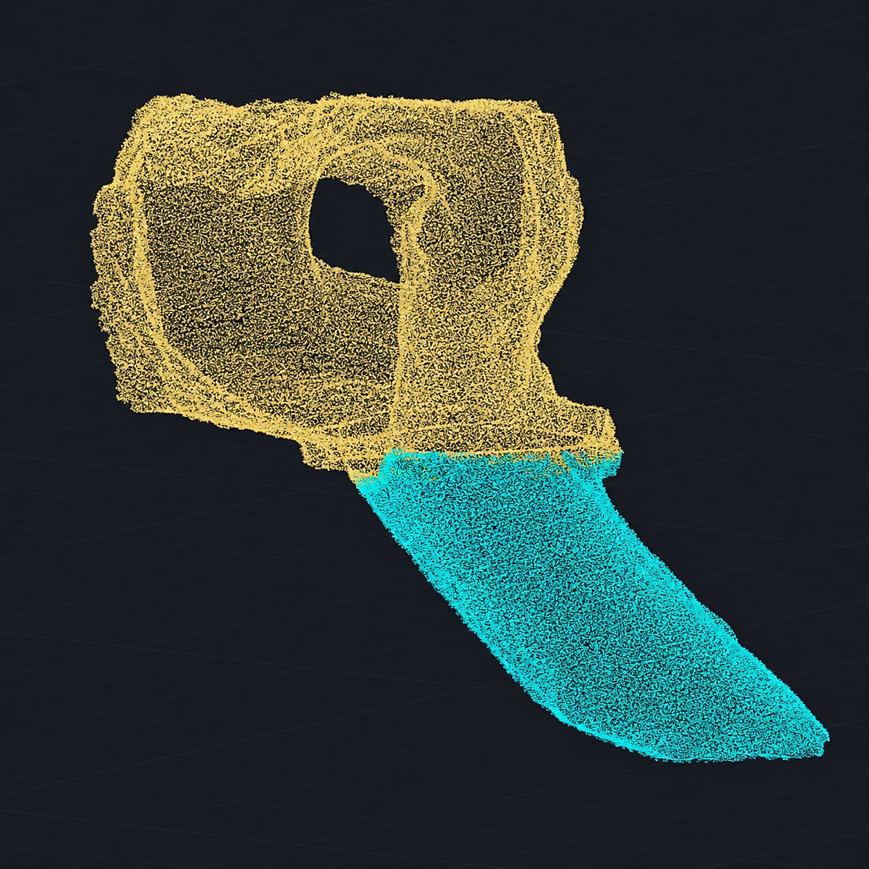
Millimetre-accurate point clouds that turn a shaft, tunnel, stockpile or plant into a measurable digital twin — captured fast, and often without putting a person in harm's way.
A 3D laser scanner sweeps millions of measured points across a surface to build a dense, accurate point cloud — a true-to-life digital record of whatever it captures. For mining and engineering, that record becomes the basis for measurement, comparison and design, without repeated and hazardous manual access.
The applications run deep. Underground, scanning measures convergence — the slow closure of walls, roof and floor under stress — so deformation can be tracked over time and managed before it threatens safety or production. It quantifies overbreak and underbreak against the design profile to control excavation and blast performance, and it documents inaccessible or unsafe areas: a mobile scanner can be lowered into a vertical shaft to capture the walls without sending a person down.
On surface, the same technology measures stockpile and excavation volumes to within a few centimetres, captures open-pit benches and topography, and records plant, headframes and steel structures as as-built models. Survey House combines scanning with conventional survey to compare actual as-built geometry against the planned engineering drawings — the quality check that confirms what was built matches what was designed.
Deliverables range from raw registered point clouds to engineering models, cross-sections, plan-versus-actual comparisons, volumetric reports and full digital twins for asset management.
Clear answers to the questions clients and search engines ask most about this service.
7-year project — site infrastructure, vertical & decline shaft, start to handover.
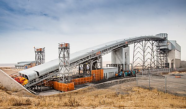
Surface infrastructure, decline & 2× vertical shaft surveys.
Vertical shaft equipping & 3D scan of 730 m reamed shaft.

Precision. Accuracy. Trust.