Service

Underground Mining Surveys

Survey control for underground mine development and the infrastructure within the workings — keeping headings on course and the as-builts accurate, kilometres below surface.

What it is

Underground Mining Surveys — engineered for accuracy.

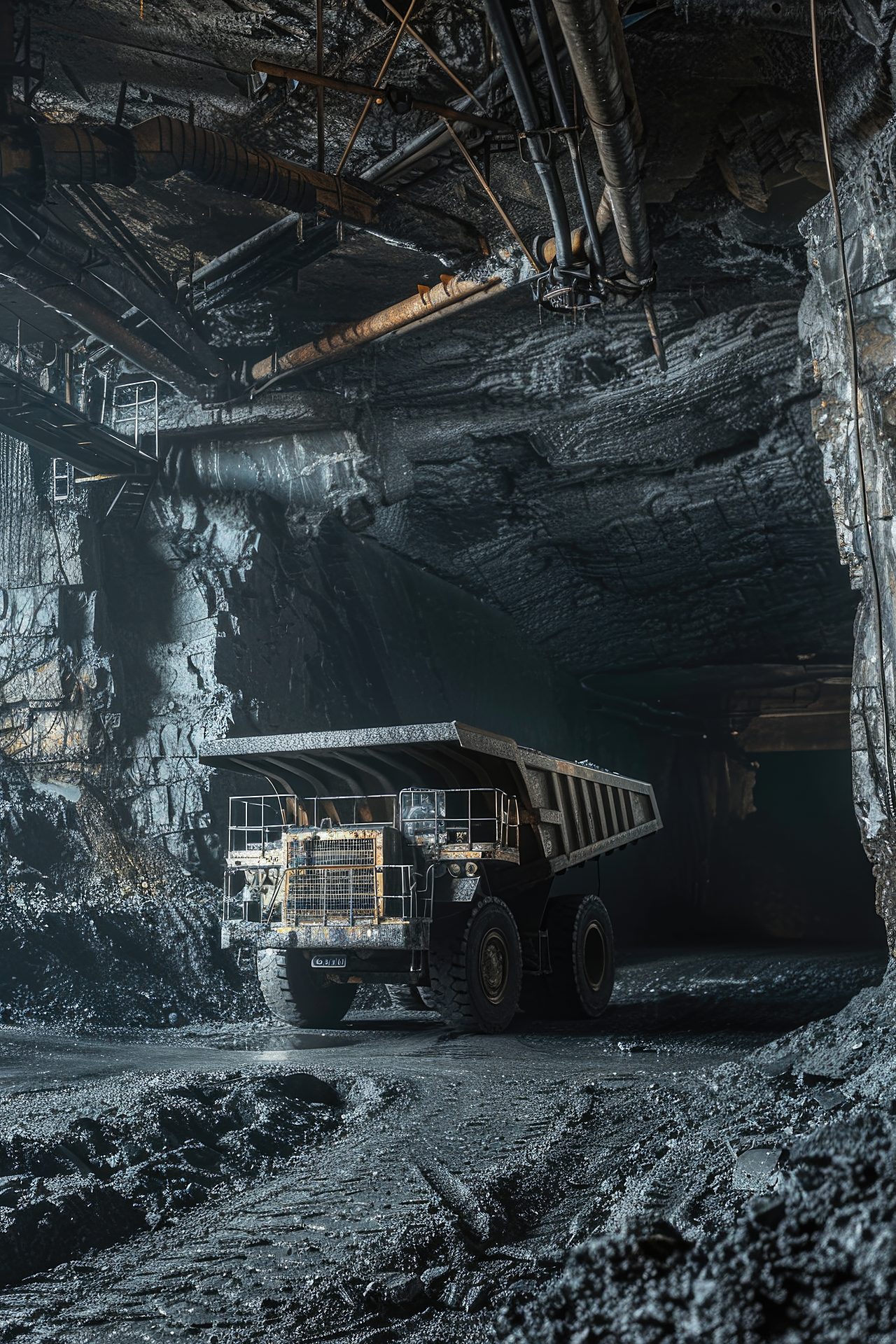
Underground mining advances in the dark, with no sky and no satellite signal — so every metre of development depends on survey control carried down from surface and pushed forward through the workings. Survey House provides that control: orienting the underground network, directing development, and recording the infrastructure that follows.

Development is about direction. Headings, declines, tunnels and ore passes are driven on bearings established by gyro observation and carried forward through the workings, so that headings hole through to one another correctly and safely — the wrong bearing means a mis-holing, which costs money and can cost lives. Raise-bore alignment, decline gradient control and development as-builts all sit within this work.

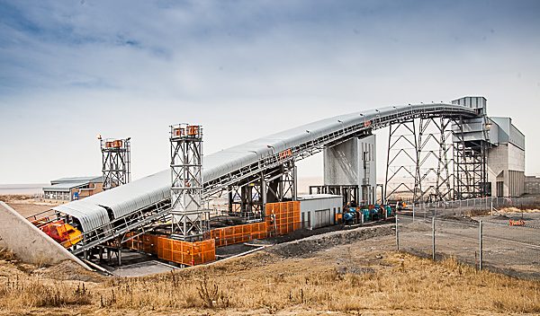
Infrastructure is about record and tolerance. Shaft stations, conveyor and rail, pump chambers, workshops and tips are set out from the underground control and then captured as as-builts; 3D laser scanning records the openings, measures convergence as ground closes under stress, and compares the as-built profile against design.

It is a sector built from several of our disciplines — gyroscopic orientation, raise-bore alignment, 3D scanning and independent check surveys — delivered as one coordinated underground programme.

Where it's used

Typical applications

  • Development directional control
  • Gyro orientation & correct holing
  • Raise-bore & decline alignment
  • Shaft-station & infrastructure set-out
  • Convergence & deformation monitoring
  • Underground as-built survey
What you receive

Typical deliverables

  • Underground control & orientation reports
  • Development set-out & as-builts
  • Convergence / deformation records
  • Infrastructure set-out data
FAQ

Underground Mining Surveys — frequently asked questions

Clear answers to the questions clients and search engines ask most about this service.

What is underground mine surveying?
It is the survey control that directs underground development and records the workings — carrying accurate position and bearing down from surface and forward through the headings, so the mine is developed in the right place, on the right line, and safely.
How is direction controlled underground without GPS?
By gyro-theodolite observation, which determines true north independently of satellites or magnetism. That bearing is carried forward through the workings and checked, so headings drive on the correct line and hole through to one another safely.
What is a holing, and why does it matter?
A holing is where two underground headings (or a heading and a shaft) meet. If the survey control is off they miss — a mis-holing — which is expensive to rectify and a serious safety risk. Correct orientation and check surveys prevent it.
Which surveys fall under underground mining?
Development directional control, gyroscopic orientation, raise-bore alignment, shaft-station and infrastructure set-out, 3D scanning of openings, convergence monitoring and underground as-builts — drawn from our specialist disciplines and delivered together.
Related Projects

Recent applications

Burnstone
Great Basin Gold

Burnstone

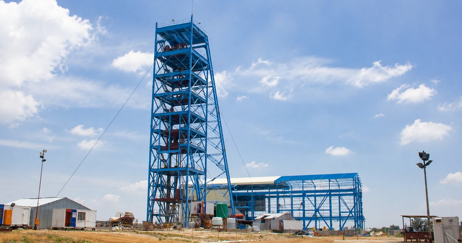
7-year project — site infrastructure, vertical & decline shaft, start to handover.
Thubelisha Shaft
Sasol

Thubelisha Shaft

Surface infrastructure, decline & 2× vertical shaft surveys.
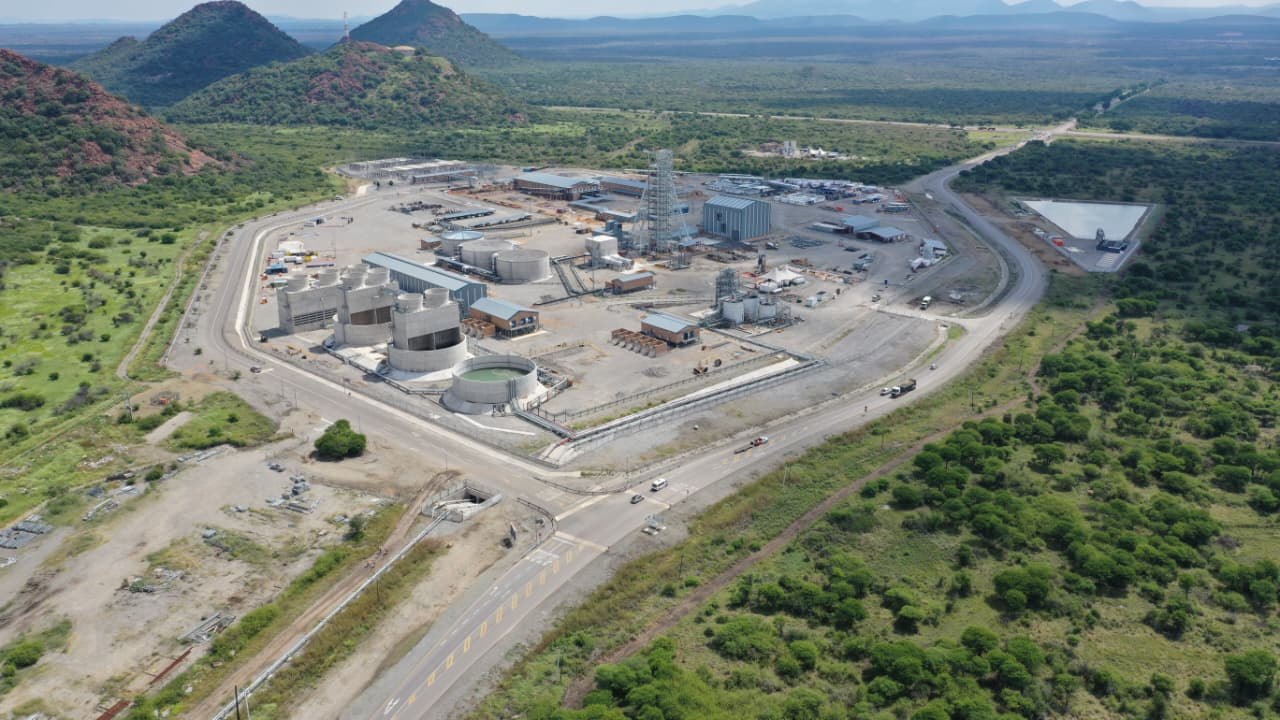
Zondereinde
Northam Platinum

Zondereinde

Vertical shaft equipping & 3D scan of 730 m reamed shaft.

Speak to our survey team about underground mining surveys:+27 (0)11 472 1527
Let's work together

Let's Build With Accuracy.

Precision. Accuracy. Trust.

Get a Quote